AI-Powered Inspiration, Enhanced Navigation & More for Boondockers
With over 2 billion monthly users, Google Maps has become an essential tool for boondockers, bringing smarter, more intuitive features to help find that perfect off-grid camping spot. As boondocking—the art of camping without hookups—gains popularity, reliable navigation tools are key to a seamless experience. Google Maps’ latest updates, including Gemini AI, pair advanced AI capabilities with optimized location data designed for remote exploration.
The appeal of boondocking has skyrocketed, particularly with a rise in RV ownership among digital nomads and younger travelers. According to the RV Industry Association, RV ownership has increased by over 60% in the last decade, with over 20% of RVers now choosing dispersed camping over traditional campsites. In response to this shift, Google Maps has introduced features like natural language search, immersive views, and real-time weather insights to meet the needs of modern boondockers.
What’s New in Google Maps for Boondockers
Gemini AI Integration
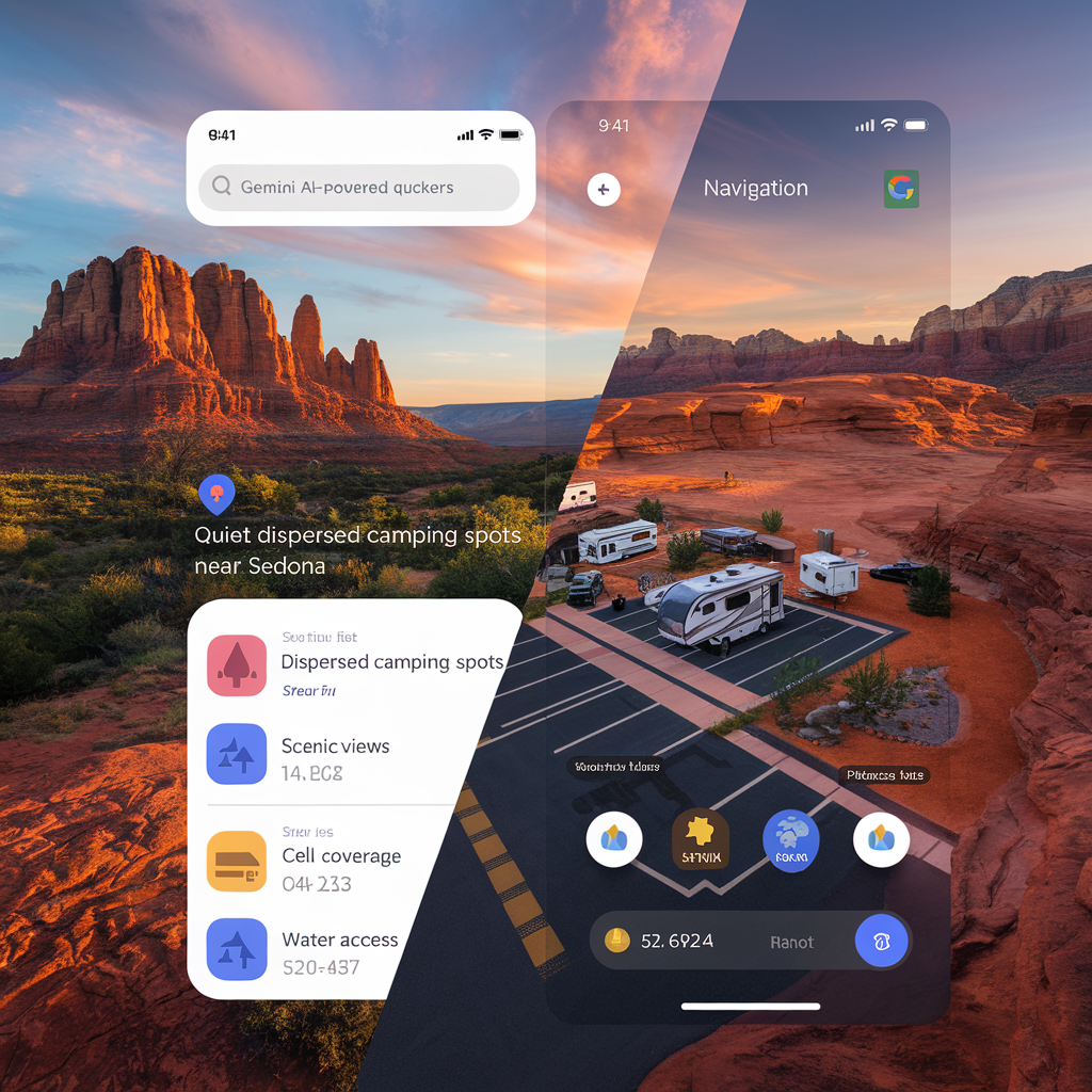
Gemini AI enhances Google Maps by providing intuitive search and personalized recommendations that simplify finding ideal boondocking spots. With natural language queries, you can type conversational prompts without needing to guess the right keywords. For instance, searches like “quiet dispersed camping spots near Sedona” or “BLM land with cell service” bring up highly relevant, location-specific results.
Gemini’s review summaries let you gauge a location’s suitability based on user feedback, covering aspects like scenic views, cell coverage, and water access. Additionally, personalized recommendations based on your search history offer tailored suggestions, saving time and making trip planning easier.
Enhanced Navigation Features
Google Maps’ pre-trip planning tools allow RV travelers to plot essential stops, such as gas stations, rest areas, and scenic viewpoints along their routes. Key navigation features include:
- Lane Guidance & Large Vehicle Navigation: Specialized lane guidance for RVs simplifies highway merging and exits, improving safety for larger vehicles.
- Weather Disruption Alerts: Real-time alerts for potential flood and visibility issues add a layer of safety, especially useful in remote areas.
- Parking Spot Memory: Users can log and recall parking locations, perfect for those utilizing Walmart lots or public land pull-offs.
- Last-Mile Walking Directions: These directions guide you through the final stretches to secluded sites where vehicle access may be limited, such as trailheads or remote campsites.
Image suggestion: Visual comparisons of navigation views with and without enhanced lane guidance and weather alerts.
Immersive View Updates
The Immersive View expansion now covers over 150 cities, enabling users to explore destinations visually in 3D, ideal for pre-planning boondocking trips. This feature combines satellite and street view data, creating a virtual experience that’s interactive and informative.
- Parking Lot Assessments: Check if parking areas can accommodate RVs, reducing maneuverability challenges upon arrival.
- Route Complexity Visualization: Assess winding or steep terrain that could be challenging for RVs, especially in mountainous regions.
- Terrain Visualization: Identify landscape features like slopes, vegetation, and water sources to help with informed site selection.
- Weather & Traffic Predictions: Real-time weather and traffic insights allow you to plan around delays and ensure safer travel.
Image suggestion: Immersive View samples of popular boondocking areas showing parking lot sizes and terrain layout.
Practical Applications for Boondockers
Finding New Boondocking Spots
Using Gemini AI Queries allows for targeted searches, such as “remote BLM sites with cell service,” making it easier to find sites that match your preferences. Combining AI searches with Satellite View also provides a realistic sense of terrain and accessibility.
Route Planning Essentials
Google Maps’ large vehicle navigation keeps RVers on RV-friendly routes, avoiding restricted roads. Gemini’s real-time weather alerts and cell service planning also help maintain connectivity and safety, allowing for smarter, more prepared travel.
Safety Considerations
Enhanced weather alerts and road condition updates keep boondockers informed, helping them avoid flood-prone or unmaintained roads. For additional peace of mind, save offline maps and establish emergency contacts before setting out.
Tips & Best Practices
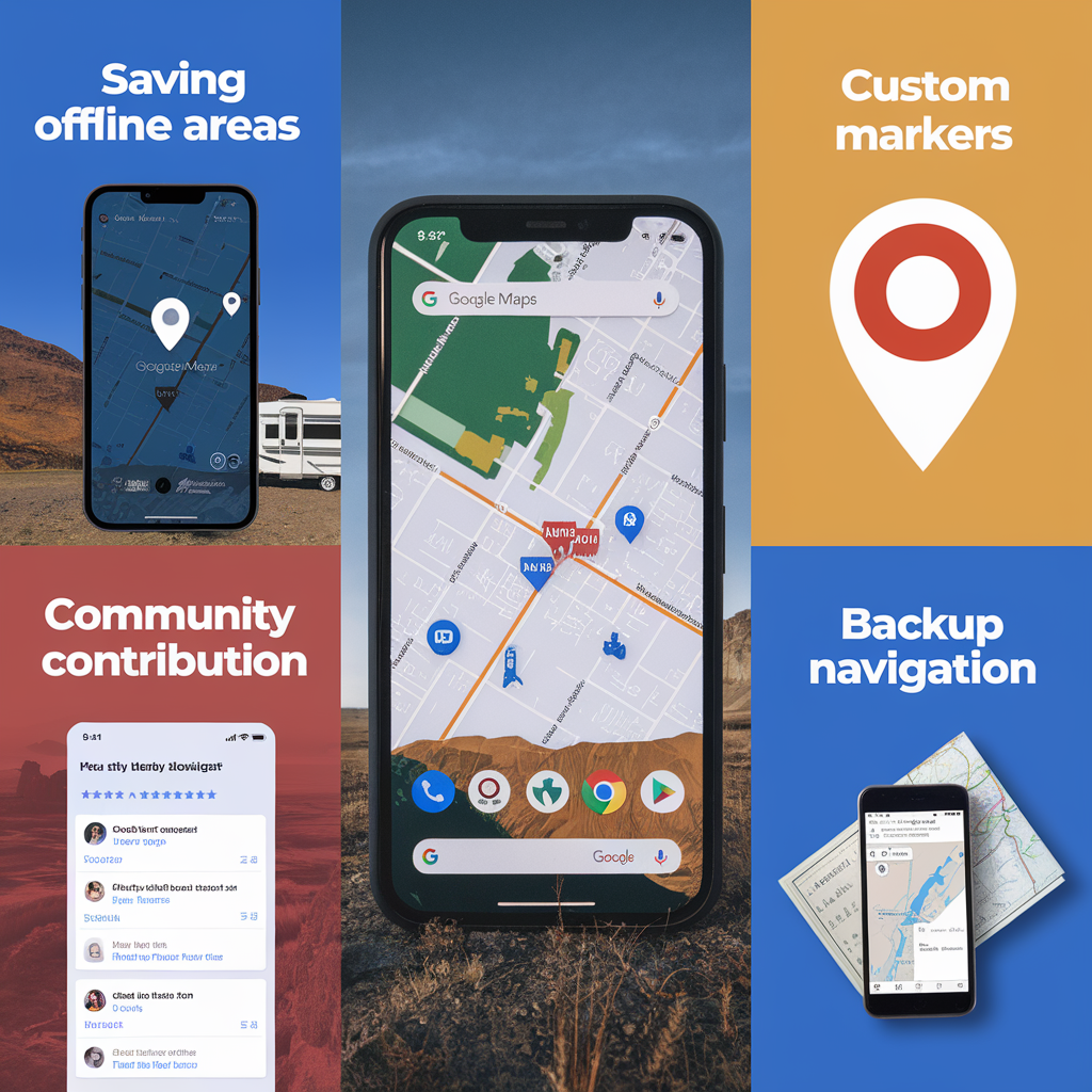
- Saving Offline Areas: Download maps for your destination to ensure uninterrupted navigation, even in areas without cell service.
- Using Custom Markers: Mark favorite campsites and note areas to avoid, making planning and sharing locations easier.
- Community Contribution: By adding reviews, photos, and tags for boondocking-friendly spots, you contribute to Google Maps’ growing database of information useful to other boondockers.
- Backup Navigation: Keep a backup app or paper maps as a safeguard when navigating areas with limited connectivity.
Future Implications
Looking ahead, Google Maps may introduce customized AI filters for terrains and expanded 3D mapping. Integration with camping platforms like Campendium or iOverlander could centralize campsite details and reviews, providing a one-stop planning resource. These tools support safe and sustainable boondocking by helping users make informed site choices, respect sensitive areas, and stay safe.
FAQs: Using Google Maps for Boondocking and RV Navigation
Q: Can Google Maps help find boondocking spots?
Answer: Yes, Google Maps offers valuable tools for finding boondocking spots, including:
- AI-powered natural language queries with Gemini AI: Search conversationally, such as “quiet dispersed camping near [location]” or “BLM land with cell service.”
- Satellite view and terrain visualization: Assess terrain to ensure suitability for RVs and off-grid setups.
- User-contributed reviews: Quick-glance reviews provide insights into site reliability, amenities, and conditions.
- Real-time weather and traffic predictions: Manage hazardous conditions and traffic, essential for remote areas.
Q: How accurate is Google Maps for RV navigation?
Answer: Google Maps has tailored RV navigation with features like:
- Enhanced lane guidance and large-vehicle routing: Avoid narrow roads with precise lane guidance for RVs.
- Weather alerts: Get real-time alerts for floods, visibility issues, and other weather disruptions.
- Parking and route complexity info: Evaluate RV-compatible parking and challenging routes, especially in remote or mountainous areas.
- Offline maps: Download maps to stay on course even without cell service, essential for boondocking.
Conclusion
Google Maps has transformed how boondockers find, navigate, and enjoy off-grid camping spots by integrating AI-powered inspiration, enhanced navigation, and immersive views. These features streamline trip planning, support safe travel, and offer tools to confidently explore remote areas.
Get Involved
Share your experiences with these features! Let us know your favorite boondocking spots, contribute to our community mapping projects, and help keep the information current. Sign up for our newsletter to stay updated on the latest tech tips, boondocking updates, and new tools.


